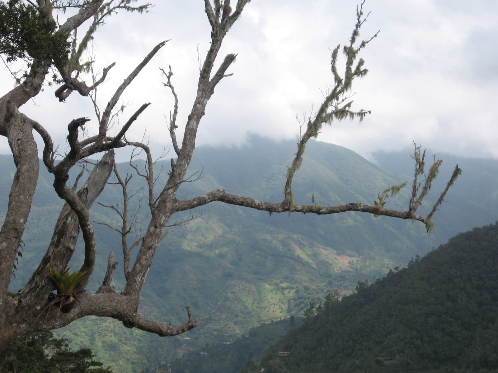
File photograph: Jamaica’s Blue Mountains, viewed from the Oatley Mountain trail in Holywell National Park, January 25, 2007. · Wolmadrian · Public domain · Resized for display.
Jamaica’s Forestry Department has received a survey drone and a unified data system to improve forest monitoring and guide restoration after Hurricane Melissa.
Drone surveys and a unified information system
Jamaica’s Forestry Department has acquired a survey drone and a Forest Management System intended to improve environmental monitoring and direct forest restoration, according to the Gleaner. The equipment, worth just over US$210,000, or approximately J$33 million, was handed over at the agency’s offices in St Andrew on October 9.
The investment addresses both the collection of information in the field and the way that information is managed afterwards. The Trinity Pro drone provides an aerial survey platform, while the software brings processing, analysis and reporting into a common workflow.
The drone carries a sensor, a 61-megapixel camera and , known as . records separate bands of light rather than only a normal colour photograph; uses laser pulses to measure distances and develop three-dimensional information about a surface.
Those capabilities will support vegetation monitoring, land-cover classification, high-resolution mapping and assessments of forest terrain, officials said. The department expects to survey large areas more quickly and in greater detail than traditional methods allow.
, chief executive officer and conservator of forests, linked the upgrade to the need for accurate information as climate change exposes forests to more frequent shocks. The intended uses include assessing damage from forest fires and other environmental threats, tracking changes over time and directing restoration to the places that need it.
Forest data in one workflow
The Forest Management System is designed to reduce the fragmentation that has affected the department’s information work. Staff previously processed forest data on several platforms, increasing the risk of errors and slowing the production of reports. Consolidating those functions should make the path from field collection to a usable report more efficient, Henry said.
Training has accompanied the equipment provision. Henry said Forestry Department personnel and partners have already been trained in drone operations, data collection and analysis, allowing them to deploy the system and use the resulting information in decisions.
The agency monitors more than half a million hectares of forest and is assessing Hurricane Melissa’s damage. , the UNDP resident representative in Jamaica, said the drone can produce detailed three-dimensional pictures of ecosystems that complement satellite imagery and ground-based assessments. He described the combination of aerial information and the management system as a tool for monitoring and restoration planning.
The handover also closes out two linked projects: the Accelerated National Forestry Inventory Programme and Phase Two of the Land Use and Land Cover Change Assessment. , the Nationally Determined Contribution Partnership’s in-country facilitator for Jamaica, said the tools form the core of a National Forest Information Monitoring System.
Heslop said that system would help assess Melissa’s impact, inform recovery priorities and track progress against Jamaica’s climate commitments. The equipment was provided with support from the NDC Partnership Action Fund and the UNDP Multi-Country Office.